Visitor Information
Visitor Information
By Explore Minnesota
The North Star State is easy to reach, whether you’re flying, driving or arriving by train. No matter how you get here, we want your travels to be as hassle-free as possible. Read on for travel information and tips.

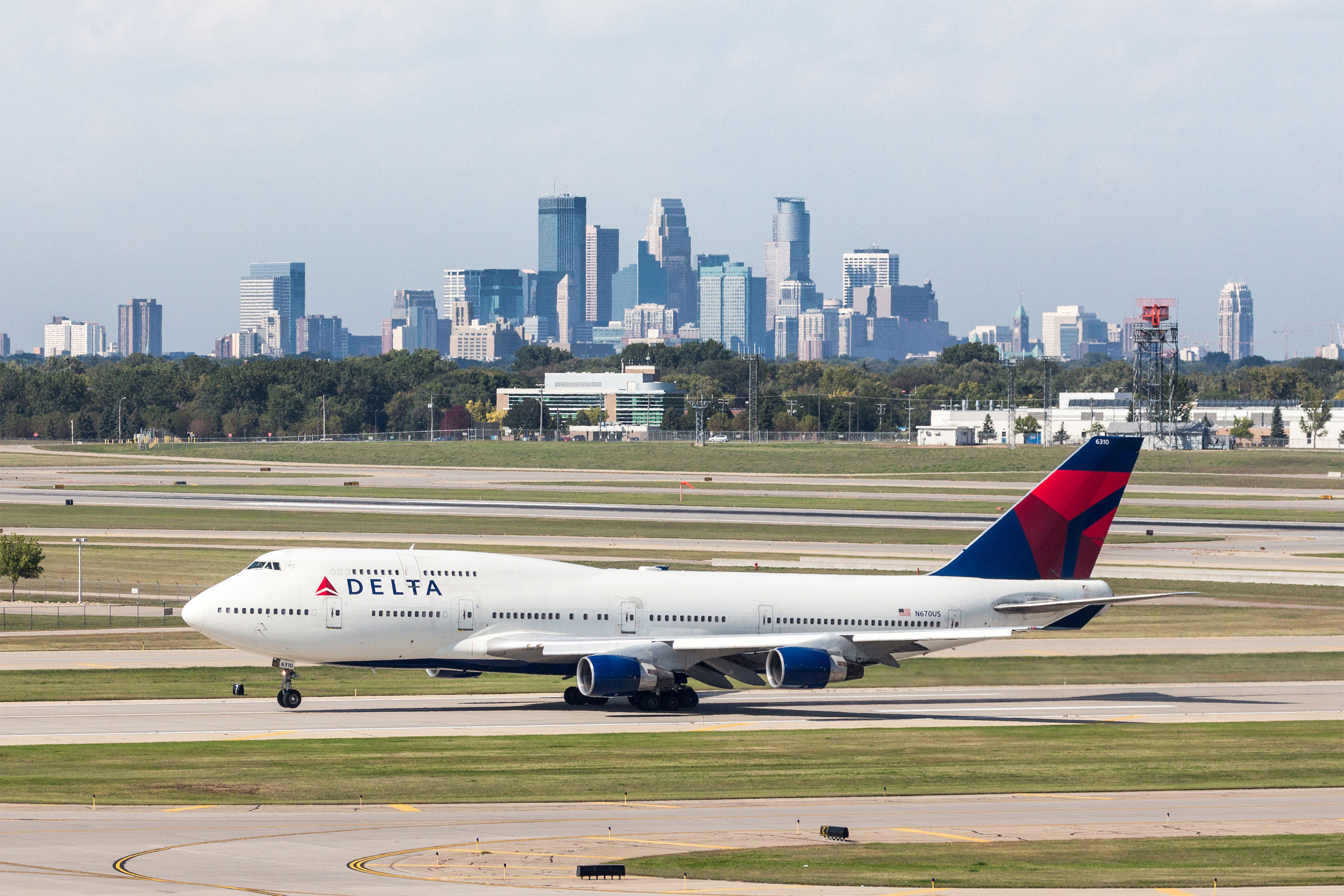
Delta airplane on tarmak at MSP Airport / Emmanuel Canaan
ARRIVING BY AIR
The Minneapolis-St. Paul International Airport (MSP), a major hub of the Upper Midwest, was the best airport of its size in North America in 2021 and 2022. Minnesota is only about an hour away by air from most Midwest cities, and a two- or three-hour flight from the East and West coasts. The Twin Cities can be reached from several countries on direct international flights.
The airport is conveniently located on the south side of the metropolitan area, 12 miles southeast of downtown Minneapolis, 10 miles southwest of downtown St. Paul and just minutes from Mall of America in Bloomington.
Other Minnesota cities served by commercial air service include: Bemidji, Brainerd, Chisholm-Hibbing, Duluth, Fargo-Moorhead, Grand Forks-East Grand Forks, International Falls, Rochester and Thief River Falls.

Take in all the views on one of the many scenic byways in Minnesota
MINNESOTA BY TRAIN
The Empire Builder Amtrak route crosses the state between the southeast and northwest borders, with stops in Winona, Red Wing, Minneapolis-St. Paul, St. Cloud, Staples, Detroit Lakes and Fargo-Moorhead. This route runs between Chicago and Seattle or Portland.
DRIVING TO MINNESOTA
Minnesota’s central location makes it convenient to reach by car from much of the United States. It is midway between the east and west coasts, and the northernmost state along the Mississippi River. The interstate highway system makes driving to Minnesota from other states a breeze, and eight Minnesota/Canada border crossings provide easy access for our northern neighbors.
DRIVING DISTANCES
In miles to the Minneapolis-St. Paul Area
Chicago, IL: 400
Denver, CO: 915
Des Moines, IA: 240
Detroit, MI: 690
Fargo, ND: 240
Green Bay, WI: 300
Indianapolis, IN: 590
Lincoln, NE: 430
Madison, WI: 275
Milwaukee, WI: 340
Omaha, NE: 375
Sioux Falls, SD: 240
Winnipeg, CA: 450

Dresbach Welcome Center
TAKE THE BUS
Megabus provides express bus service to Minneapolis from several Midwest cities, including Chicago, Madison and Milwaukee. In addition, Greyhound and Jefferson Lines offer service to many Minnesota cities and provide convenient inter-city travel options within Minnesota.
INTERNATIONAL VISITORS
Visitors from other countries are advised to exchange currency at their first convenience, since most Minnesota businesses don’t accept foreign currency. Currency can be exchanged at the Minneapolis-St. Paul International Airport and at most large banks, or withdrawn from automated teller machines (ATMs).
MINNESOTA’S WELCOME CENTERS
Welcome Centers are located on major highways at key points in the state. Stop in for statewide travel information.

Basking in the fall colors on Crosslake / Micah Kvidt
MINNESOTA’S CLIMATE
Part of Minnesota’s appeal is its four distinct seasons, each with its own particular pleasures. The average high is 24° in January, 70° in May, 80° in August, and 58° in October, and the average low is 7° in January, 48° in May, 61° in August, and 39° in October.
WHAT TO PACK
Spring and fall, bring layers that can be added, depending on the temperature, and a lightweight coat or jacket. For winter trips, pack warm clothes, including sweaters, fleece or a blazer. You’ll need a heavy coat, boots, a warm hat and lined gloves or mittens. As we like to say here, there’s no bad weather, only bad clothing!
TIME ZONE
Minnesota is in the Central Time Zone, one hour behind the East Coast, two hours ahead of the West Coast.

