
Mississippi River Trail Bluffs
About
Minnesota’s Mississippi River Trail winds roughly 620 miles downriver from its source within Itasca State Park to the Iowa border. Located largely on the shoulders of paved roads and on low-traffic roads, the route also includes relatively long segments of scenic state and regional trails.
Bicyclists have two route alternatives between Cass Lake and Brainerd: Explorer's On-Road Route or Family Friendly State Trail Route.
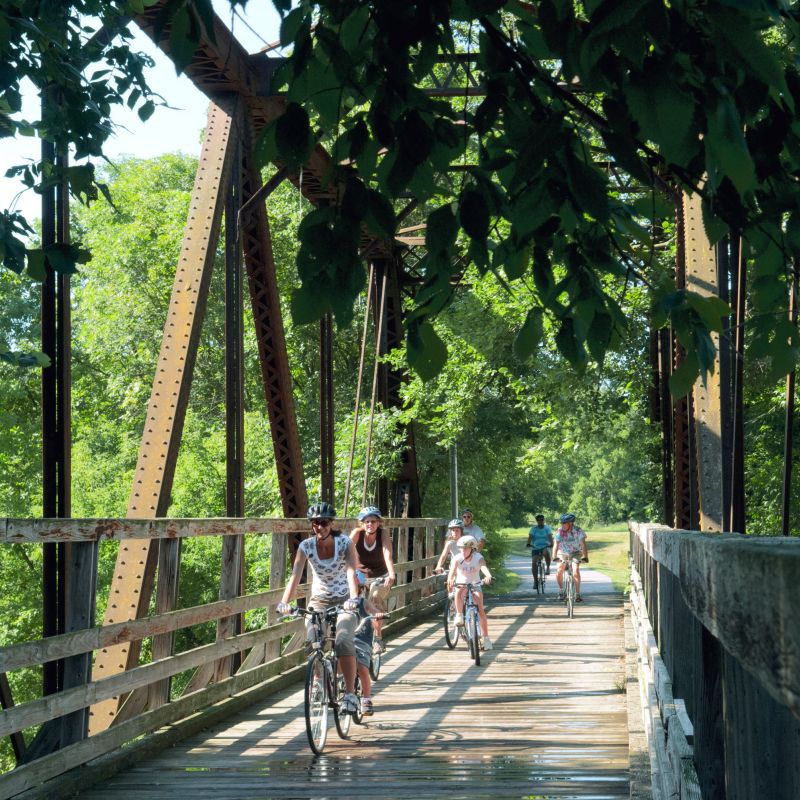
Throughout the 72-mile long Twin Cities Metro Area, the MRT is routed on both sides of the river - you can pick a side or ride both. The bikeway is located within the Mississippi National River and Recreation Area (MNRRA), an urban national park. Although much of the route is presently on-road, several off-road regional trails suitable for a wide variety of bicyclists are featured within this segment (local and regional planning is presently underway for several new off-road river-oriented trails with the eventual outcome being a continuous 144-mile off-road Metropolitan river loop).
Finally to the south, bicyclists can remain on roads below the Mississippi River Bluffs or ride the Apple Blossom Scenic Byway. The byway allows bicyclists a view of the Mississippi uplands, spectacular views of the river and adjoining bottom lands. It also offers access to Great River Bluffs State Park.
Grade:
Compared to bicycling in the Appalachian, Rocky or Smoky Mountains, this route is relatively flat. This is especially true for those traveling the Paul Bunyan and Heartland State Trails between Cass Lake and Brainerd and other trails within the Twin Cities Metro Area which have a maximum sustained grade of 3 percent. The steepest climb of the road route is 578 feet and is located on the Apple Blossom Scenic Byway.
Route Navigation:
The MRT is signed from the Headwaters at Itasca State Park to the Iowa border, but there are a few locations where signs are not posted. While signs are helpful to navigate, they are not the only or the primary way to do so. Use a map to identify trail sections and connections.
Known areas with incomplete signs include:
- Clearwater County (from the northern boundary of Itasca State Park to Becida/MRT Map A)
- Aitkin County on County Road 10, also called Great River Road
Hennepin County:
- Dayton River Road (between Dayton and Champlin — west side of river/MRT Maps 3 & 4)
- Marshall Avenue (between St. Anthony Parkway and 8th Av NE in Minneapolis — east side of river/MRT Map 8)
- Minneapolis Park Board property (all parkland between 53rd Av N and northern boundary of Fort Snelling State Park - near E. 54th St/MRT Maps 7-10)
What's Nearby
Mentioned In

Wander the trails at Fort Snelling State Park / Minnesota DNR
Pedal through Minnesota's Bluff Country on the scenic Root River State Trail

Mountain biking in Cuyuna during the fall / Roy Son

Riding through the North Loop neighborhood in downtown Minneapolis / Waqar Ahmad

Bring your bike along to explore the fantastic trails in and around Itasca State Park

Ride the Mississippi River Trail in downtown St. Paul / Anna Min

Biking along the Laurentian Divide / Mesabi Trail

Bike tour America's most legendary waterway on the Mississippi River Trail / Min Enterprises
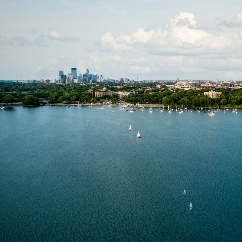
Bde Maka Ska, Minneapolis / Paul Vincent

Kayaker on Minneapolis Chain of Lakes / Paul Vincent

Prospect Park Water Tower in Minneapolis / Credit: Lane Polovsky Visuals