
Source of the Mississippi

Trumpeter swans sail over the Mississippi River in Monticello

Wabasha Minnesota Eagle Watch

The Great River road near little falls and Lindbergh boyhood home
Contact Information
Minnesota Great River Road - All-American Road
Mailing Address: 56 33rd Avenue South#283
St Cloud, MN 56301
The map above is a general visual representation of the route. For detailed route information, directions and information on over 700 things to see and do visit www.MnMississippiRiver.com.
About
The Great River Road follows the course of the Mississippi River through ten states. It is an official All-American Road and considered one of the country's premier driving destinations.
Minnesota's Great River Road is a network of roadways offering a bounty of river experiences in a parkway setting. It spans 565 miles, 43 communities, 20 counties, three tribes and six unique destination areas, providing public access to and promoting exploration of America's Great River.
The Mississippi begins in Itasca State Park as a small wilderness stream; visitors can walk across its headwaters. As the river arcs across northern Minnesota, it passes through several large reservoirs, Chippewa National Forest, and the cities of Bemidji and Grand Rapids. Through the center of the state, the landscape is a mix of woods and farmland, and the river flows through Brainerd, Little Falls and St. Cloud, with beautiful public gardens along the riverbanks there.
The Mississippi winds through the heart of the Minneapolis-St. Paul area, past both downtowns. The river is lined by walking and biking trails, and there are major museums and a theater complex along the banks as well.
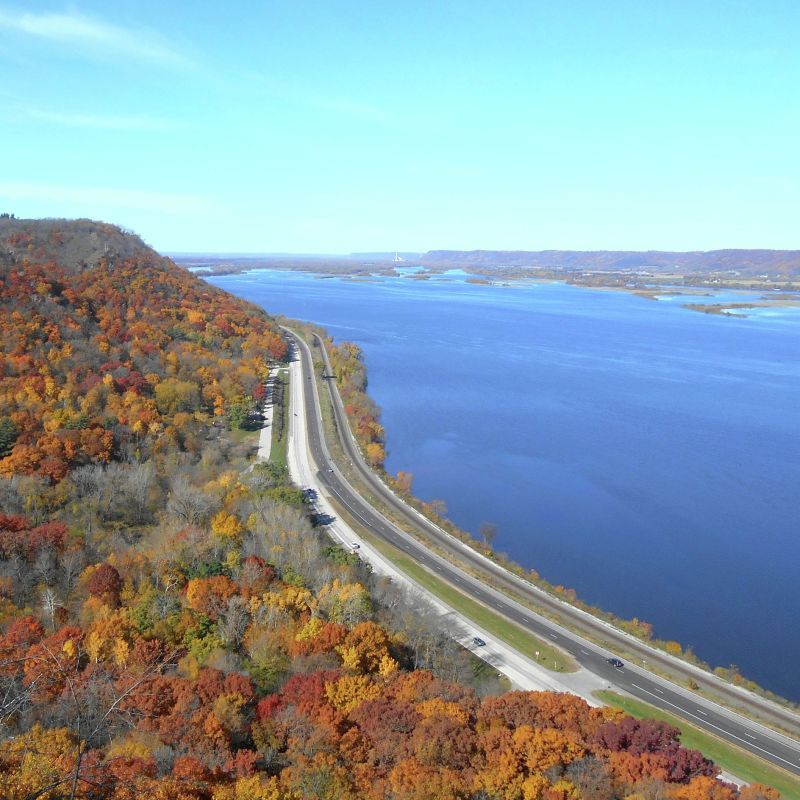
In the south, the Mississippi widens as it flows through a valley below tall, wooded bluffs. There are charming river towns along the way, including Red Wing, Lake City, Wabasha and Winona. From north to south, there are historic sites, scenic parks and interesting towns to experience.
For a river experience by bicycle, follow the Mississippi River Trail (MRT) signs. Current route maps are available at http://www.dot.state.mn.us/bike/routes-maps.html.
More Information
Length
- 565 miles
Route
- A series of roads following the Mississippi River from Itasca State Park in northwest Minnesota, through the Twin Cities, and along the southeast border of the state
Scenery
- Mississippi River, as it grows from a small wilderness stream to a wide expanse lined by tall, wooded bluffs.
Green Practices
- Eco-friendly landscape/facility design
- Organic or local food & beverage choices
- Transportation-related policies or programs
Attraction Attributes
- Can accommodate groups of 45 or more
More Information
What's Nearby
Mentioned In
Follow the Mississippi River's 600-plus-mile journey across Minnesota on the Great River Road
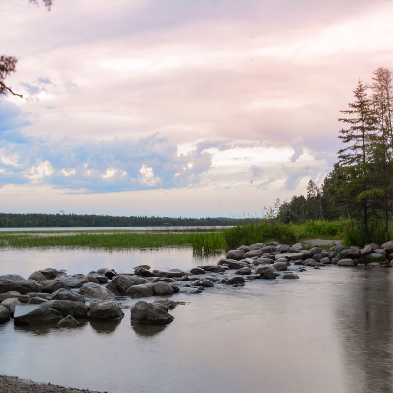
The Mississippi River headwaters under a pastel sky at Itasca State Park

A couple explores the hills and river bluffs around Red Wing by motorcycle / Roy Son

An aerial shot of a fall drive through Frontenac State Park / BJ Schulz

Bob Dylan mural in downtown Minneapolis / Bill Hickey, courtesy Meet Minneapolis

Split Rock Lighthouse State Park in Two Harbors / Paul Vincent

Get up close and personal with grizzly bears at the Minnesota Zoo / Minnesota Zoo
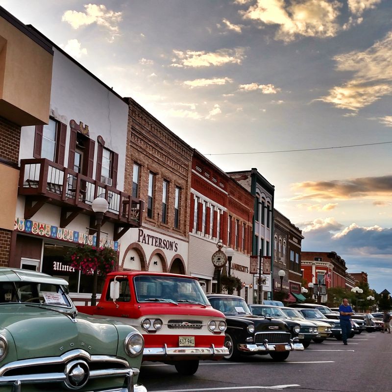
Classic cars on Main Street of New Ulm

Barn Bluff overlook in Red Wing along the Mississippi River

Niagara Cave / Ryan Taylor
Follow the Mississippi River's 600-plus-mile journey across Minnesota on the Great River Road