
Amazing view from the Border Route Trail
Contact Information
Border Route Trail
Border Route Trail Association5904 Lee Valley Rd.
Edina, MN 55439
About
The Border Route Trail is a 65-mile long wilderness hiking trail that crosses the Boundary Waters Canoe Area Wilderness (BWCAW) in the far northeast corner of Minnesota (the Arrowhead) and follows the international border between Minnesota and Ontario, Canada. It connects with the Superior Hiking Trail on its eastern terminus and with the Kekekabic Trail on its western end at the Gunflint Trail (Cook Cty. Road 12). The closest towns are Grand Marais (beginning of Gunflint Trail, County Rd 12) and Hovland (beginning of Arrowhead Trail, County Road 16).
In addition to the eastern and western termini, the Border Route Trail can be accessed through several spur and connecting trails, allowing for hiking trips ranging from short day-hikes to multiday backpacking expeditions.
Rates
Boundary Waters permits & fees required
What's Nearby
Mentioned In
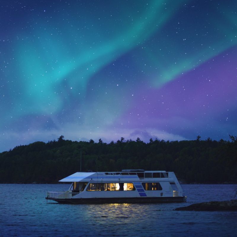
Northern lights over a houseboat in Voyageurs National Park